

OZraster, a series of Topographical State Maps
Some products available via Instant Download
OZraster is a series of very detailed maps suitable for use in a wide variety of GPS mapping software. They can be used with popular GPS navigation programs such as OziExplorer (PC, CE and Android), VMS Off-Road (Portable and in-Dash), Mud Map M7 (Ozi CE), Mud Map 2 (iPad and iPhone), and Two-Nav (PC and iPad).
Maps are supplied on USB flash drive or via Download (some products) with an easy to use self installing program and installation instructions. Maps for Hema Navigators units are supplied on micro SD card - just replace your existing card.
Please specify which format you require when ordering:
- OziExplorer or use with OziExplorer on Windows PC and Laptops, OziExplorer CE/Android - Suit VMS portables and in dash units, Mud-Map M7 and any other device running OziExplorer CE or OziExplorer Android.
- Hema 16GB Card - preloaded card suitable for use in a Hema HN5, 5i, 6 or 7
- Two-Nav - suit Land (PC) and Two-Nav (iPad or Android)
Download a free sample
| NSW | ||
| Ozi | download | |
| Two-Nav | download |
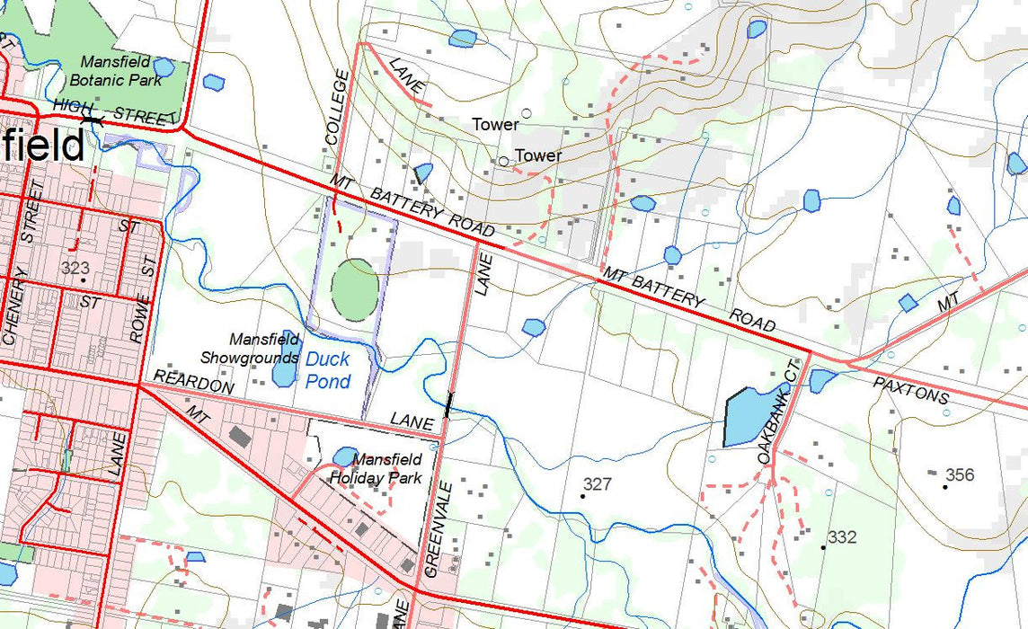
NSW Version:
General:
Data is supplied by NSW Land and Property Information (LPI), 2017 release.
All maps have the same look and feel and have been recently updated by LPI.
Maps scales are in 1:25,000 (Eastern region), 1:50,000 (Central Region) and 1:100,000 (Western Region)
Technical info:
1108 maps covering all of NSW and ACT using standard LPI sheet names eg "Oberon"
Single datum across all maps - GDA94
OZraster for OziExplorer (PC, CE - 2.40 or later, Android) requires 6.05 GB of disk space. Both .MAP and .OZF4 files are supplied
OZraster for Two-Nav is supplied in RMAP format (7.7GB) suitable for use with LAND or TWO-NAV for iPad.
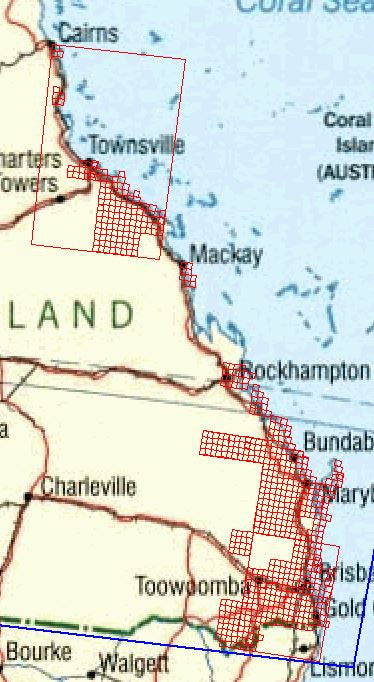
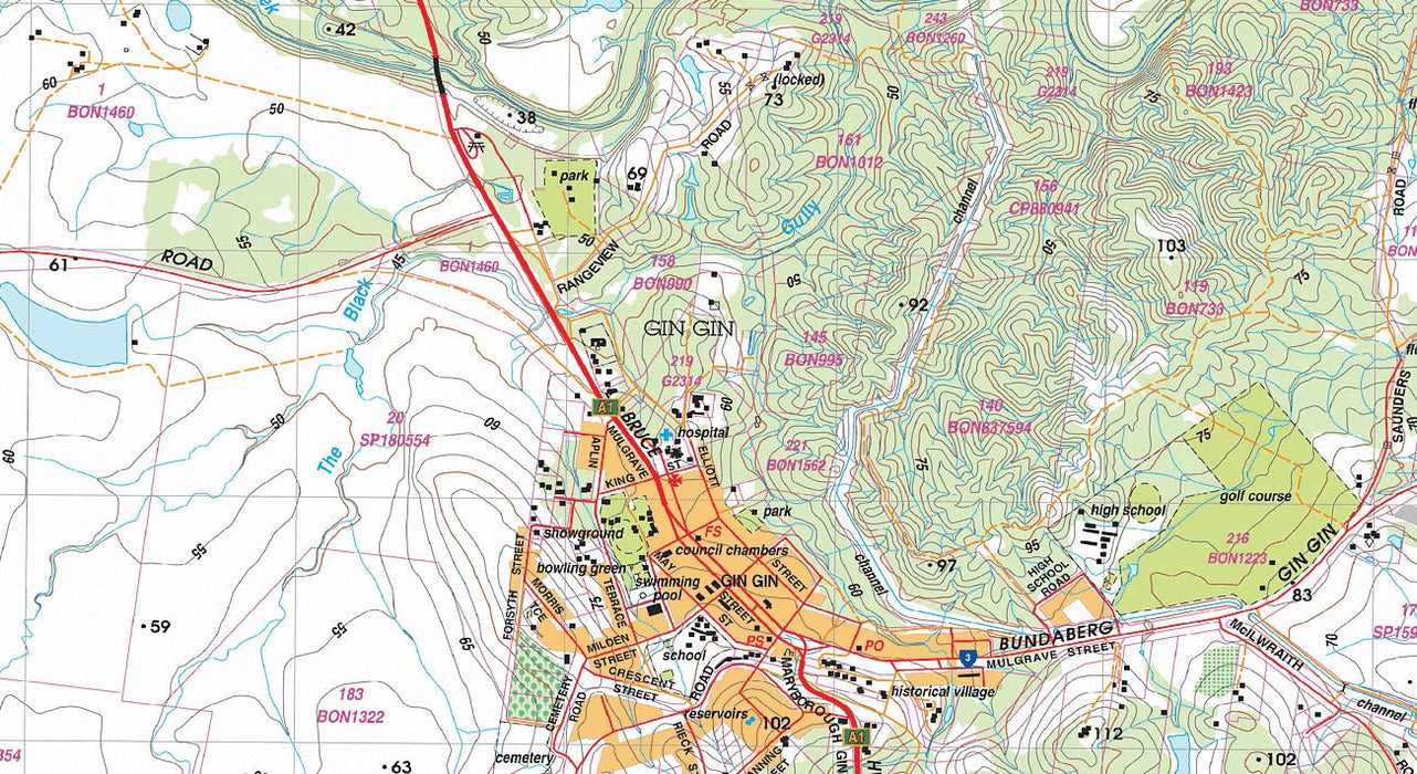
Queensland Version:
General:
Data is supplied by Queensland Government, Natural Resources and Water (NR&W), 2013 release.
Maps scales are in 1:25,000
Technical info:
702 maps covering coastal regions of Queensland using standard NR&W sheet names eg "Peter Gordon Range" plus 3 * Mosaic Maps 1:25k and 1 * 1:2.5M state wide map
Single datum across all maps - GDA94
OZraster for OziExplorer (PC, CE - 2.40 or later, Android) requires 13.7 GB of disk space. Both .MAP and .OZF4 files are supplied
OZraster for VMS Off-Road requires tbs of disk space. Both .VRT and .MMI files are supplied.
OZraster for Two-Nav is supplied in RMAP format (19.4 GB) suitable for use with LAND or TWO-NAV for iPad.
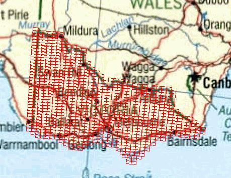
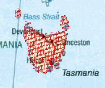
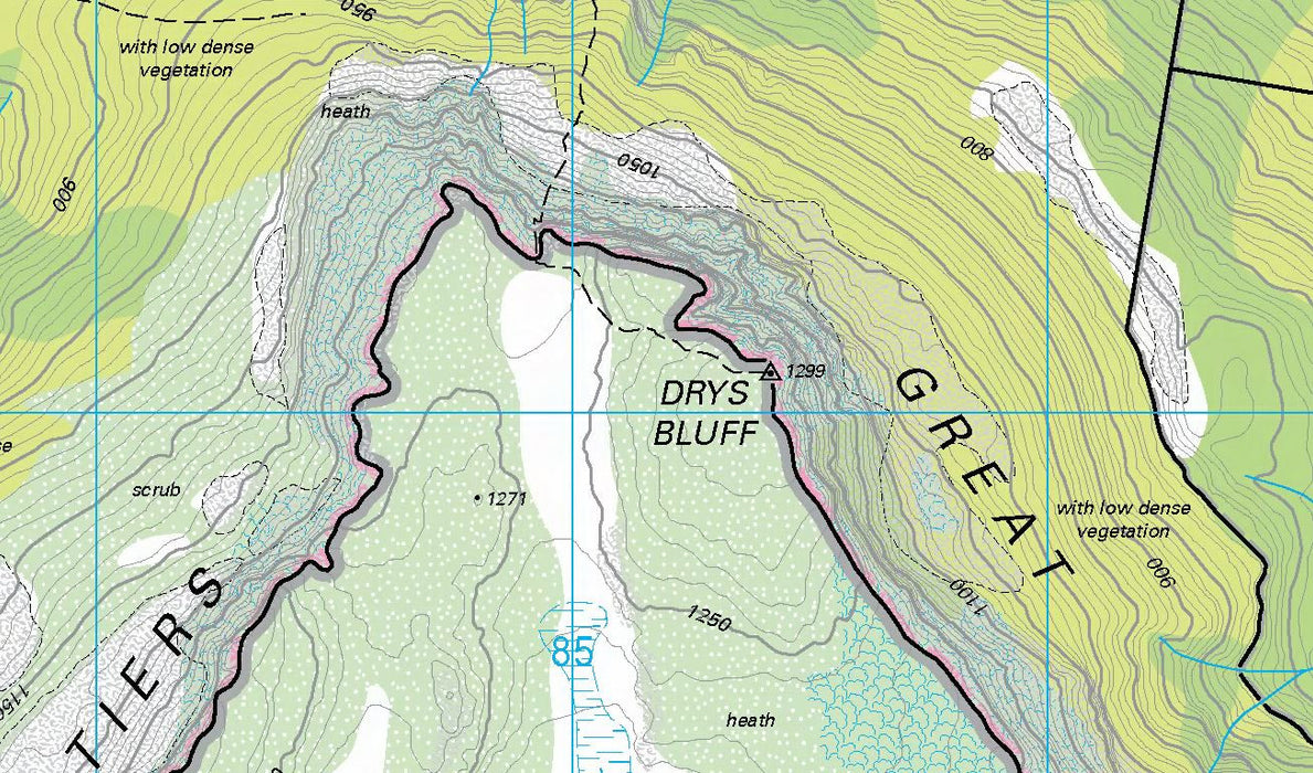
Tasmaina Version:
General:
Data is supplied by Department of Primary Industries, Parks, Water and Environmen (TASMAP)
All maps have the same look and feel and have been recently updated by TASMAP.
Maps scales are in 1:25,000
Technical info:
456 maps covering all of Tasmania using standard TASMAP sheet names eg "Evandale"
Single datum across all maps - GDA94
OZraster for OziExplorer (PC, CE - 2.40 or later, Android) requires 3.6 GB of disk space. Both .MAP and .OZF4 files are supplied
OZraster for Two-Nav is supplied in RMAP format (tbs GB) suitable for use with LAND or TWO-NAV for iPad.
Western Australian Version:
No longer available due to a significant price change (upwards!) from DOLA/LANDGATE